
Service line · Capture / Document / Restore
3D Scanning & Documentation
A measurable, navigable record of your building before, during, and after the work: LiDAR point clouds, Matterport walkthroughs, floor plans, and CAD and BIM files built from what is actually there.
What this work is
A clinical chart exists so that no one has to rely on memory about a patient. A building deserves the same record. VeraPoint captures spaces with the Matterport Pro3, a LiDAR-based 3D camera, and turns the capture into a digital twin and the deliverables people can measure, navigate, and build from: a point cloud for the engineer, a walkthrough link for the adjuster who cannot get on site, a 2D floor plan for the facilities binder, a sketch ready for Xactimate, and a Revit-ready model for the architect planning the next renovation.
Scanning grew out of our restoration work, where the question after a loss is always the same: what was here before, and what exactly did we remove? Our restoration jobs can be scanned at intake, after demolition, and at close-out so the record is a model rather than a stack of photographs. The service stands on its own as well. Facilities teams, property managers, architecture and engineering firms, and general contractors engage us to document existing conditions with no loss involved: as-builts that match the building, baseline captures before a tenant or a renovation, and a digital reference that outlasts the people who remembered where the shutoff was.

Deliverables
What you receive, and who it is for
Every engagement begins by agreeing on the deliverable and the accuracy it needs, using the Level of Accuracy (LOA) framework published by the U.S. Institute of Building Documentation, so a facilities as-built and a structural engineer's model are not quoted, captured, or checked the same way.
A navigable, shareable model of the space captured with the Matterport Pro3, with in-model measurement and tagged notes. Adjusters, owners, and out-of-town stakeholders can walk the property from a link, and the model can be captured again at each project milestone for a dated comparison.
Registered scan data delivered in standard point-cloud formats for your engineer, architect, or BIM team, with the measured accuracy specified per project. The point cloud is the source of truth; everything below is derived from it.
Dimensioned plans drawn from the scan rather than from a tape and a clipboard, delivered as PDF and DWG for leasing, facilities, life-safety, and space-planning use.
Room dimensions and floor-plan sketches prepared for import into Xactimate, so the estimate, whether ours or another contractor's, is built on measured rooms instead of estimated ones and the carrier's reviewer can trace every quantity to a scan.
Existing-conditions models and drawings produced from the point cloud, delivered in the format your design team works in, including Revit for scan-to-BIM, with the Level of Development agreed before modeling begins. We also convert files you already have, including legacy floor plans and point clouds from other vendors, into the format you need.
Dated captures at each phase of a restoration or construction project, organized into one record: pre-loss or pre-construction baseline, post-demolition conditions with everything inside the walls exposed, and the finished space. The file is built for the people who must sign off: adjusters, infection prevention, lenders, surveyors, and owners.
Calibrated to the building
Scanning for the property you have
The capture is the same. Who needs to read the record, and what they need to do with it, changes the deliverable.
For healthcare
The as-built your facilities team wishes it had
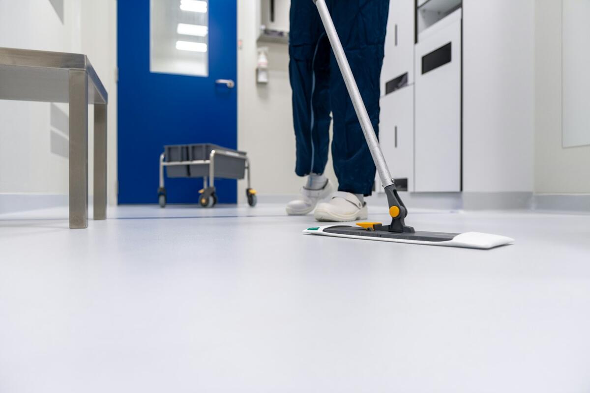
Hospitals, surgery centers, clinics, long-term care, and labs run on drawings that stopped matching the building several renovations ago. A scan replaces the drawing with the building itself, and a scan captured behind an ICRA barrier replaces the question "what did they do above that ceiling?" with a model.
Healthcare facilities carry a documentation burden no other building type does: life-safety drawings for the surveyor, as-builts for the next project's design team, infection-control records for every construction activity under ASHE ICRA 2.0, and a facilities staff expected to know where every valve, damper, and fire-rated wall sits. VeraPoint's founders came from healthcare, and scanning is the service they wanted when they were on the facility side: a dated, measurable record captured without disrupting care, by a crew that already knows how to work under your ICRA permit.
We scan occupied units in the windows you set, with the same credentialing, badging, and containment discipline we bring to restoration work, and we scan above-ceiling conditions while the ceiling is open for a project rather than after it is closed. For a water or mold loss we are handling, the before, during, and after captures become part of the same close-out file as the moisture map and the post-remediation verification report.
Where it earns its place
Existing conditions for the next project
Design teams planning a renovation in an older hospital routinely discover that the record drawings are wrong. A point cloud and a scan-to-BIM model of the affected floors give the architect and engineer the building as it is, cutting field verification visits into occupied units and the change orders that follow a bad as-built.
A record of the loss for the survey file
When a pipe fails above a patient unit, the facility, not the contractor, answers to the surveyor. Dated captures at intake, after removal, and at close-out sit alongside the ICRA permit, negative-pressure logs, and verification reports in one Environment of Care file, and an adjuster can walk the loss from a link without crossing the barrier.
Above-ceiling and behind-wall documentation
Every time a ceiling is opened under an ICRA permit, there is a brief window to document what is actually up there. We scan while it is open so that the next time, the facilities team can look at a model instead of opening the ceiling to find out.
How the work runs
Agree on the deliverable, accuracy, and access
We define what the record is for and who will use it, set the Level of Accuracy and, where a model is wanted, the Level of Development, and work out the scan schedule with facilities and infection prevention: which units, which windows, which precautions, and whether the activity itself needs an ICRA permit.
Capture without disrupting care
Crews are credentialed to your facility's requirements and scan from set positions room by room, with no patient or staff identifiable in the capture. Occupied areas are scheduled around census and procedures, and above-ceiling or behind-barrier conditions are captured while they are exposed.
Register, check, and deliver
Scans are registered into one dataset, checked against the agreed accuracy, and turned into the deliverables you specified: a Matterport walkthrough for the people who need to see it, floor plans for the people who need to file it, and a point cloud or BIM model for the people who need to design from it.
Keep the record current
Scans can be repeated at each project milestone, after a loss, or on a schedule, so the facility's digital record stays as current as the building rather than as current as the last set of drawings.
Questions we hear
Does scanning require an ICRA permit?
Will patients or staff appear in the walkthrough?
Can you produce a model our architect can use in Revit?
Start with the floor that worries you most.
A single-floor baseline scan is the fastest way to see what the record looks like. Tell us the unit, the window, and who needs to read the result, and we will scope it with your facilities and infection prevention leads.
For commercial and property management
Proof of condition, on a date, from a link
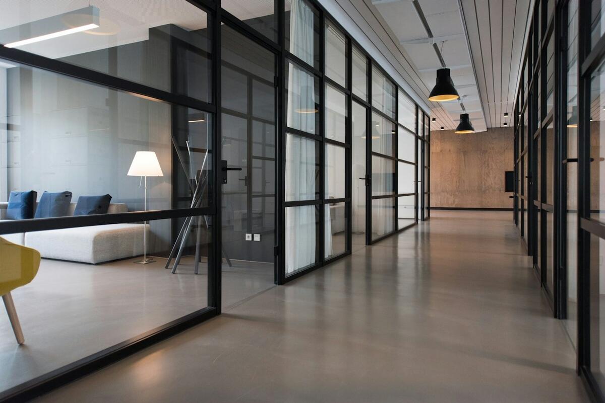
Office, retail, industrial, multifamily, and mixed-use portfolios run on condition disputes: what the suite looked like at move-in, what the loss affected, what the contractor actually removed. A scan settles those with a measurable record instead of competing photographs.
Property managers spend an unreasonable share of their week reconstructing what a space looked like at some earlier moment: the tenant's move-in, the day before the roof leaked, the week before the build-out started. VeraPoint delivers a dated 3D record, measurable to the inch, that a leasing agent, an adjuster, a lender's inspector, or opposing counsel can walk through from a browser. For an active loss we are mitigating, the scan is captured at intake and after removal and becomes part of the same file as the moisture map and the Xactimate scope.
The same capture feeds the work that happens between losses. Floor plans drawn from the scan replace leasing drawings that have drifted from reality, as-builts give your capital-projects team a real starting point, and a Xactimate-ready sketch means a scope prepared by us, or by any other contractor, starts from measured rooms.
Where it earns its place
Move-in and move-out condition
A Matterport capture at turnover replaces the photo-and-checklist walk with a navigable, dated model that both parties can measure. Security-deposit and make-ready disputes get shorter when the record is a space, not a shoebox of pictures.
Claims that the carrier can walk
Capturing the loss at intake and again after removal gives the adjuster a model instead of a photo set, and a sketch prepared for Xactimate ties each line of the estimate to a measured room. Fewer site visits, fewer disputes about square footage, and a cleaner path to approval.
Plans that match the building
Leasing plans, life-safety drawings, and stacking diagrams drawn from a scan reflect the walls that are actually there. For buildings that have been through several tenants and several contractors, that is often the first accurate plan the owner has held.
How the work runs
Scope the record
We confirm what the capture is for and who will use it, set the accuracy level, and agree on the deliverables: walkthrough link, floor plans, Xactimate sketch, point cloud, or all of them. For portfolios we set a per-building scope so pricing and turnaround are predictable.
Capture around your tenants
Scanning is quiet and non-invasive. We schedule occupied suites with the tenant's notice you approve, capture common areas off-hours where you prefer, and keep people and personal items out of the model.
Deliver, share, and store
Deliverables arrive in the formats you specified, with the walkthrough shared to the contacts you name. Scan data is retained so the record can be re-exported later, for example when a plan is needed in a new format or a dispute surfaces a year on.
Re-capture on the milestones that matter
Turnovers, losses, build-outs, and capital projects each get their own dated capture, so the building's history becomes a series of models rather than a series of recollections.
Questions we hear
Do we need to be a restoration client to use scanning?
Can another contractor use the Xactimate sketch you prepare?
How accurate is the scan?
Document the building before the next dispute does it for you.
A baseline capture of a building or a suite is a modest line item against the cost of one condition argument. Send us the address and the square footage and we will return a scope the same business day.
For architects, engineers, and general contractors
Existing conditions you can design and build from
Reality capture for design and construction teams: registered point clouds, scan-to-BIM models, and existing-conditions drawings specified to a stated Level of Accuracy and Level of Development, delivered in the formats your office already uses.
Field verification is the least billable hour in a design office, and it is still where most renovation surprises start. VeraPoint captures existing conditions with the Matterport Pro3's LiDAR, registers the scans into a single dataset, and delivers a point cloud your team can bring straight into Revit, AutoCAD, or Navisworks, or an existing-conditions model built to the Level of Development you specify. For contractors, progress captures at milestones give a dated record of what was built and what was concealed, before the next trade covers it.
We quote to the specification rather than the square footage alone. The U.S. Institute of Building Documentation's Level of Accuracy framework gives both sides a shared vocabulary for measured and represented accuracy, and agreeing on it before capture is the single step that prevents most scan-to-BIM disputes. We also convert what you already have, legacy drawings, point clouds from other vendors, and floor plans in the wrong format, into the deliverable your project needs.
Where it earns its place
Scan-to-BIM for renovation
An existing-conditions Revit model built from the point cloud, with architectural, structural, and MEP elements modeled to the agreed Level of Development, so the design starts from the building rather than from a record set that predates two renovations.
Progress and concealed-conditions capture
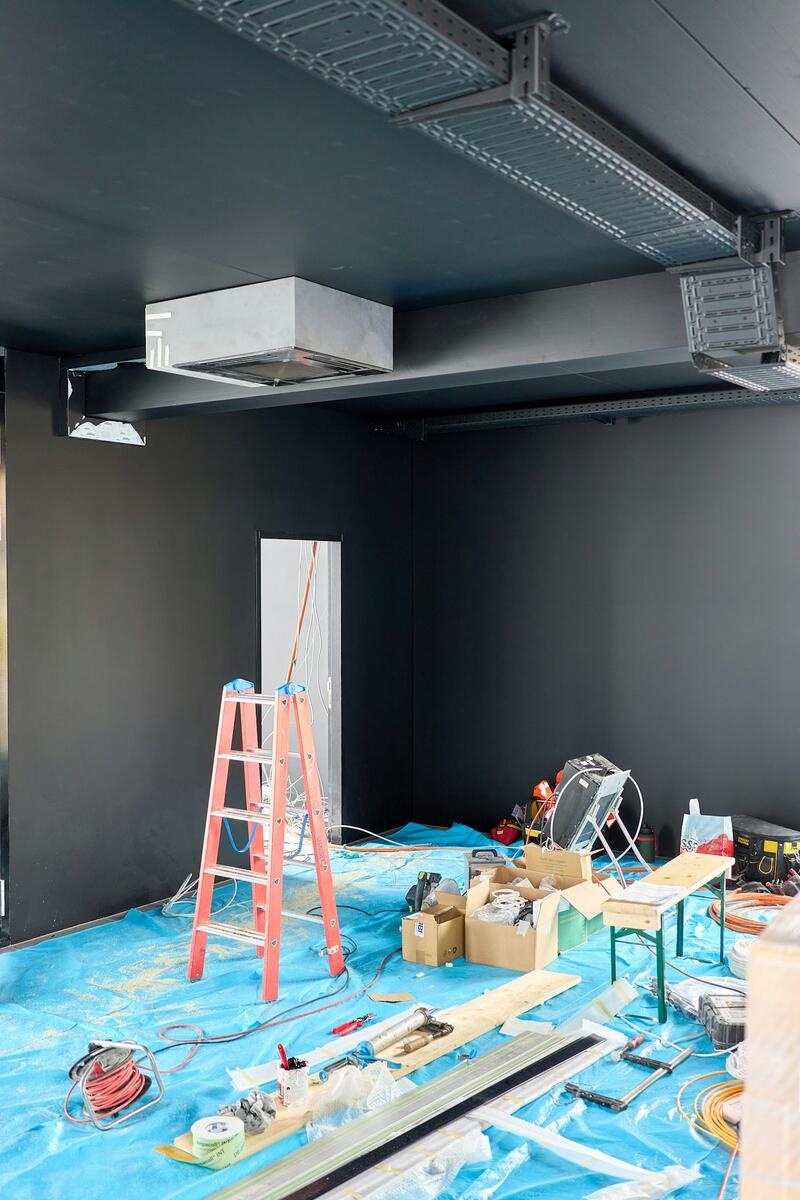
Milestone scans during construction, particularly before drywall, before slab pours, and before ceilings close, give the contractor and owner a dated model of everything that is about to disappear, and give the facilities team a reference that outlasts the project.
Clash checks and as-built verification
Comparing the point cloud against the design model surfaces deviations before they become RFIs, and an as-built capture at close-out documents what was delivered against what was drawn.
How the work runs
Specify LOA, LOD, scope, and format
We walk through the project with your team: which areas, which disciplines, which Level of Accuracy for the capture and Level of Development for the model, which file formats and coordinate system, and when it is needed. The specification becomes the basis of the quote and the acceptance check.
Capture and register
LiDAR scans are taken from positions planned for full coverage and registered into one dataset, with control established where the specification calls for it. Occupied buildings are scheduled around tenants and operations; active sites are captured at the milestones you set.
Model and verify
Where a model is in scope, it is built from the registered point cloud to the agreed Level of Development, then checked against the cloud so represented accuracy matches what was specified. Where drawings are in scope, plans, sections, and elevations are produced from the same dataset.
Deliver in your format
Point clouds, models, and drawings arrive in the formats you named, with a short report stating the capture method, registration results, and accuracy checks, so the deliverable can be audited by whoever receives it next.
Questions we hear
What formats do you deliver?
Can you work from scans or drawings we already have?
Are you a licensed surveyor?
Send us the scope and we will quote to the specification.
Share the area, disciplines, required LOA and LOD, formats, and schedule, and we will return a scoped proposal. If you are still defining the specification, we are glad to work through it with you.
For residential
Your home, documented before you need the record
A 3D capture of your home is the inventory, the floor plan, and the "before" picture in one file: useful for an insurance claim, a renovation, a sale, or simply knowing what is behind the walls.
Most homeowners discover after a loss that the record they needed does not exist. A dated scan of your home gives the adjuster a model they can walk from their desk, gives us or any contractor measured rooms to estimate from, and gives you proof of what the house looked like before the water came through the ceiling. Landlords and HOA boards use the same capture at move-in, move-out, and before shared-wall repairs, when a measurable record ends disputes faster than photographs do.
Between losses, the scan is simply useful: accurate floor plans for a renovation or a listing, a reference for where the plumbing runs, and a baseline to compare against after a storm. If we are handling a water or mold loss in your home, we can capture it at intake and after removal so that the close-out packet includes a model, not just the photographs the carrier asked for.

Where it earns its place
Insurance claims
A pre-loss capture proves condition; a post-loss capture shows the damage; a sketch prepared for Xactimate gives the adjuster measured rooms. Together they shorten the argument about scope and square footage.
Renovation and resale
Dimensioned floor plans and a navigable walkthrough give your designer, your contractor, or your listing agent an accurate starting point without a second measuring visit.
Rentals and HOAs
Dated captures at turnover and before shared-wall or common-area work give landlords and boards a record both sides can measure, which is where most deposit and repair disputes end.
How the work runs
Tell us what the record is for
A claim, a renovation, a sale, or a baseline each calls for a slightly different deliverable. We confirm which rooms, what you need back, and when.
A short visit, nothing disturbed
Scanning a typical home takes part of a day. Nothing is moved that you do not want moved, people and pets stay out of the capture, and we do not photograph documents, screens, or valuables.
Your file, delivered and kept
You receive the walkthrough link and any plans or sketches you asked for, and the scan data is retained so a plan can be re-exported later, for example when a claim surfaces the following year.
Questions we hear
Who can see the model of my home?
Will my insurance company accept it?
Is this only for homes that have had a loss?
Get the record before you need it.
Tell us the address and what you want the capture for, and we will give you a plain-language quote. Serving Missouri and Kansas from Northeast Kansas City.